OUR TECHNOLOGY
Our Technology
Technology-Driven Agriculture, Agroforestry & Carbon
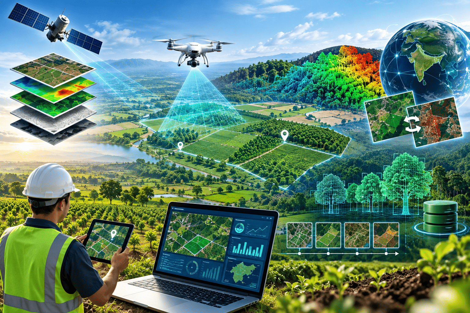
We combine drone technology, GIS, remote sensing, LiDAR, data analytics, AI and digital MRV to create a measurable and traceable digital ecosystem for agricultural and agroforestry projects.
Our technology connects land, plantations, trees, monitoring data and farmers to help us plan better, monitor accurately and build reliable project records.
Our Technology
CHATURVEDA AGRO FARMS
Drone Mapping, Photogrammetry & LiDAR
We use high-resolution drone-based photogrammetry to capture detailed aerial imagery of farms and plantations. The imagery can be processed into accurate maps and 3D representations of the land and vegetation.
We are also exploring LiDAR technology to enhance three-dimensional measurement of terrain, trees and vegetation structure.
GIS, Digital Mapping & Tree Inventory
We combine GIS, GPS, KML/KMZ and drone data to create a digital representation of every project area.
This information can be used to identify individual trees, record their locations and, where technically feasible, classify them by species.
This transforms a plantation from a simple field record into a spatially mapped digital asset.
Canopy, Vegetation & Biomass Assessment
We analyse drone, remote-sensing and field data to understand vegetation development, canopy growth and biomass.
Where appropriate, remote-sensing information is combined with field measurements, species information and suitable biomass models.
Remote Sensing & Change Detection
We use satellite and drone imagery to observe project areas over different periods and identify changes in vegetation and plantation conditions.
This allows technology to complement physical field visits by showing where attention may be required.
Digital MRV & Geo-Time Referenced Monitoring
Our Monitoring, Reporting & Verification (MRV) framework brings together drone data, GIS information, field observations, photographs and project records.
Important information is linked to both location and time, creating a continuous record of project development.
Baseline → Plantation → Growth → Monitoring → Long-term Project Record
Digital Farm & Project Data Management
All relevant information can be organised into a structured digital record for each participating farm and project.
This can connect:
Farmer → Location → Area → Soil → Plantation → Species → Tree Data → Monitoring → Agronomy → Production
Farmer Digital Platform
Our farmer mobile platform creates a direct digital connection between farmers, agronomists, field teams and project management.
Farmers can access relevant information and support through their mobile devices.
It makes technical support more accessible to farmers while keeping the farmer and project ecosystem digitally connected.